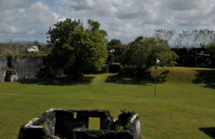
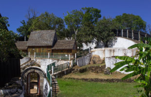
The ruin of Fort Manda is about three kilometres northeast of the coastal town of Mahavelona (Foulpointe) and can be easily reached by foot from there. Directly from the end of the town it is only half as far. A visit should take at least half a day, the entrance fee is about 3000 Ariary. Fidel, the guide and guardian …
LesenSchlagwort-Archiv: sights Madagascar
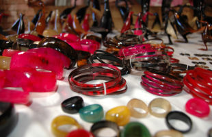
Atelier “The six brothers”
The zebu is Madagascar’s most common kept animal, and shapes the country today strongly. Whether on the road, in the middle of the city, on rice fields or in the smallest hut villages – everywhere you will find cattle with the typical hump. They provide many Madagascans with a small income, offer meat and – admittedly relatively little – give …
LesenZombitse-Vohibasia national park
Zombitse-Vohibasia: The compounded name of this national park derives from two of three areas belonging to the park. Zombitse means as much as „dense forest“ and thus names the dry forest of the national park. Vohibasia is the savannah in front of this forest and means „hill of pistols“, which is attributed to conflicts between the people of the South …
LesenAkanin’ny nofy reserve
Akanin’ny nofy: The name Akanin’ny Nofy means “the nest of dreams”. The name describes this little paradise perfectly. However, the reserve is better known under its second name “Palmarium” or formerly “La Palmarie”. Location: The Akanin’ny nofy reserve is located on a peninsula in eastern Madagascar, about 60 km south of the city of Toamasina (Tamatave). From Toamasina you drive …
LesenBaobab Avenue
The legendary Baobab Avenue is located on the road (or let’s better say the dusty slope) between Morondava and Belo sur Tsiribinha in west Madagascar. It is in the province of Menabe. Everywhere along the road between those two cities, you can find the impressive Baobab trees, only a small part of 250 meters length is known as Baobab Avenue …
LesenAluminium foundries of Ambatolampy
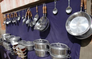
If you take the RN7 from Antananarivo towards Antsirabe, you will reach the small town of Ambatolampy after about 80 km and almost two hours. The name means “city of rocks”. The city belongs to the Vakinankaratra region. With all surrounding hut villages Ambatolampy has estimated over 25,000 inhabitants. They live mainly from rice cultivation, but now also grow vegetables …
LesenAnja Community Reserve
Anja Community Reserve: The reserve is named after the Anja Miray Association, its nickname is “Anja Park”. Because of its rocky character, the reserve is also known as “Rocky Park”. Location: About 13 km south of Ambalavao is the Anja Community Reserve in the Haute-Matsiatra region. It can be easily reached by car via the RN7, it is only half …
LesenThe old Baobab of Mahajanga
Mahajanga (formerly French Majunga) is the capital of the province of the same name in northwestern Madagascar and with more than 250,000 inhabitants one of the largest cities in Madagascar. It is located directly at the entrance of Bombetoka Bay. The oldest Baobab in Madagascar stands directly on the coast, just a few meters from the water. Legend has it …
LesenMarojejy National Park
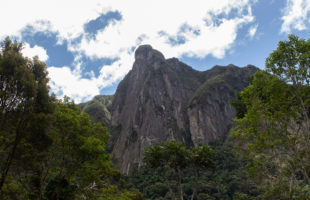
Marojejy: Marojejy National Park is one of the most biodiverse and beautiful in Madagascar, but also one of the most difficult to travel to. An “advanced paradise”! The Malagasy words maro and jejy have various meanings, including “many stones” and “much rain”, but also “many animals” and “many ancestral spirits”. Location: Marojejy National Park is located in the northeast of …
LesenThe royal hill of Ambohimanga
About 25 kilometres northeast of Antananarivo in the central highlands of Madagascar lays the royal hill of Ambohimanga. The road there is relatively good, but due to the very chaotic and dense traffic in Tana, a drive to Ambohimanga alone can easily take one to three hours depending on chosen day time. If you want to visit Ambohimanga, it is …
Lesen MADAMAGAZINE Your Magazine about Madagascar
