 MADAMAGAZINE Your Magazine about Madagascar
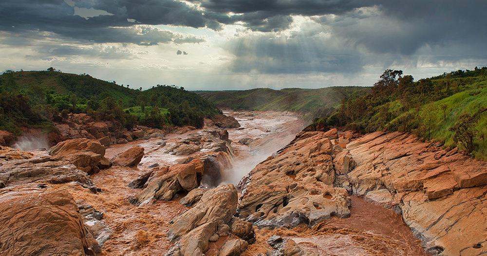
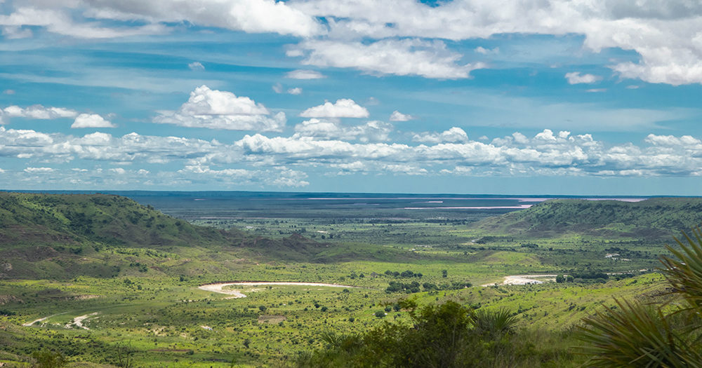
The Betsiboka River is one of the longest rivers in Madagascar with 525 kilometers. It has its source at around 1600 meters above sea level in the central highlands. From there it flows in a north-western direction, passes the capital Antananarivo and continues in a meandering course. The Betsiboka has a water catchment area of around 11,800 km². Some areas in the highlands are used for energy production by means of reservoirs.
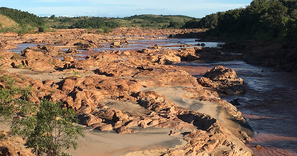
During the rainy season, the Betsiboka carries an enormous amount of water. It takes a lot of sediment with it and deposits it elsewhere. In slow-flowing places, this creates so-called alluvial soils. Here and there the river bed shifts. Especially red laterite is responsible for the typical red color of the Betsiboka. The red river is the source of life for several small gallery forests, which are increasingly being destroyed by human activity. At the same time, it also provides for the life that lives on its banks. The people along the river wash their laundry in the Betsiboka, bathe in it, let their cattle drink in it, and take drinking and industrial water from the river.

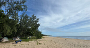
North of Maevatanana, the Ikopa, which also comes from the central highlands, flows into the Betsiboka. Just before it is a famous bridge over which the Route Nationale 4 crosses. A great opportunity for photos! The Betsiboka finally flows into the bay of Bombetoka on the west coast of Madagascar. The bay belongs to the Mozambique Channel. On one side of the bay is the large port city of Mahajanga, on the other the Katsepy peninsula.
The mouth of the Betsiboka became famous again and again through photos taken from the International Space Station ISS. These show impressively how the red water of the river mixes with the blue-green seawater of the bay. The photo was often titled “Madagascar bleeding out”. In fact, the Betsiboka is always colored red and not only temporarily. In the rainy season, however, the Betsiboka carries much more water, so the bay of Bombetoka is much more discolored than during the dry season when the water level is lower. Furthermore, the photographs taken over the years and studies show that the Betsiboka has been carrying more and more sediment over the last 70 years. Due to increasing deforestation, grazing by zebus and slash-and-burn clearing, both in the highlands and in the other areas through which the Betsiboka flows, erosion is increasing rapidly in Madagascar. This leads to increased sediment input into the river than was the case a few decades ago. The problem has a direct negative impact on fishing and shipping on the Betsiboka, especially in the estuary area around Mahajanga. However, the sediment input is just as problematic for rice and maize farmers who feed their fields with the river water. In the past, the last 140 km of the Betsiboka used to be navigable, but this is no longer the case due to the lack of river depth. The mangrove areas along the river estuary are diminishing, although they are considered important refuges for endangered species. Mangroves also protect the mainland from the swell of the Mozambique Channel.